Achenkirch - Zöhreralm - Adlerhorst - Achenkirch
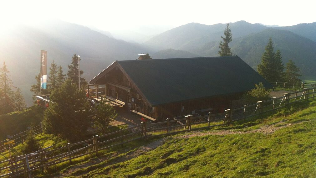
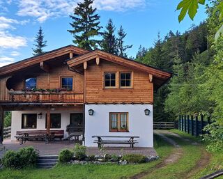
Zöhreralm in Achenkirch, auf 1.334 Meter gelegen © Achensee Tourismus
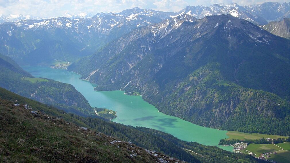
Blick auf den Achensee von der Zöhreralm © Achensee Tourismus
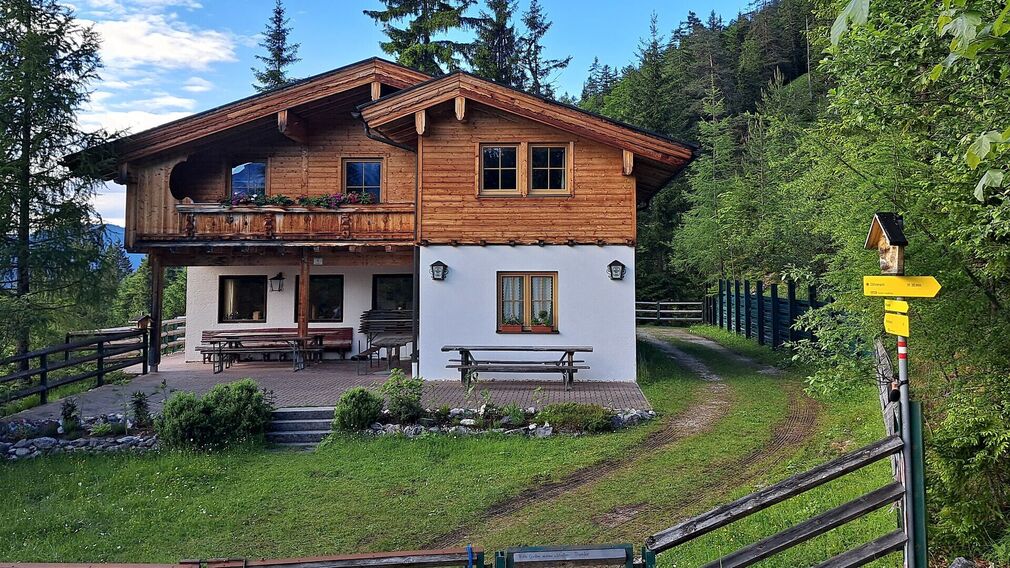
Zöhreralm in Achenkirch © Achensee Tourismus

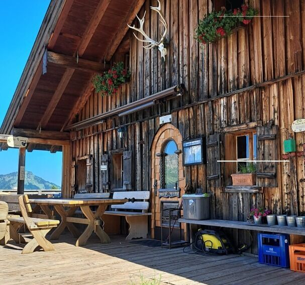
Blick von der Terrasse der Zöhreralm © Achensee Tourismus
bei der Zöhreralm - Blick nach Achenkirch © Achensee Tourismus
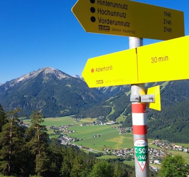
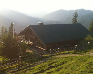
die auf 1.230 Meter gelegene Adlerhorst Hütte © Achensee Tourismus
Vom Parkplatz „Sonnberg“ beim Biomasseheizkraftwerk führt ein gut ausgebauter Forstweg zur Zöhreralm (1.334 Meter, Gehzeit ca. 1 Stunde 15 Minuten). Anschließend verläuft ein Steig weiter in Richtung Adlerhorst (1.230 Meter). Von dort führt ein schöner Weg über Serpentinen zurück zum Ausgangspunkt.
mehr
weniger
Infrastruktur vor Ort


Schwierigkeit
Leicht
Routenlänge
7.7 km
Gesamtzeit der Route
03:00 h
Höhenmeter Bergauf
410 hm