Achenkirch - Geopfad Obere Ampelsbach- und Filzmoosbach Schlucht - Gufferthütte - Achenkirch
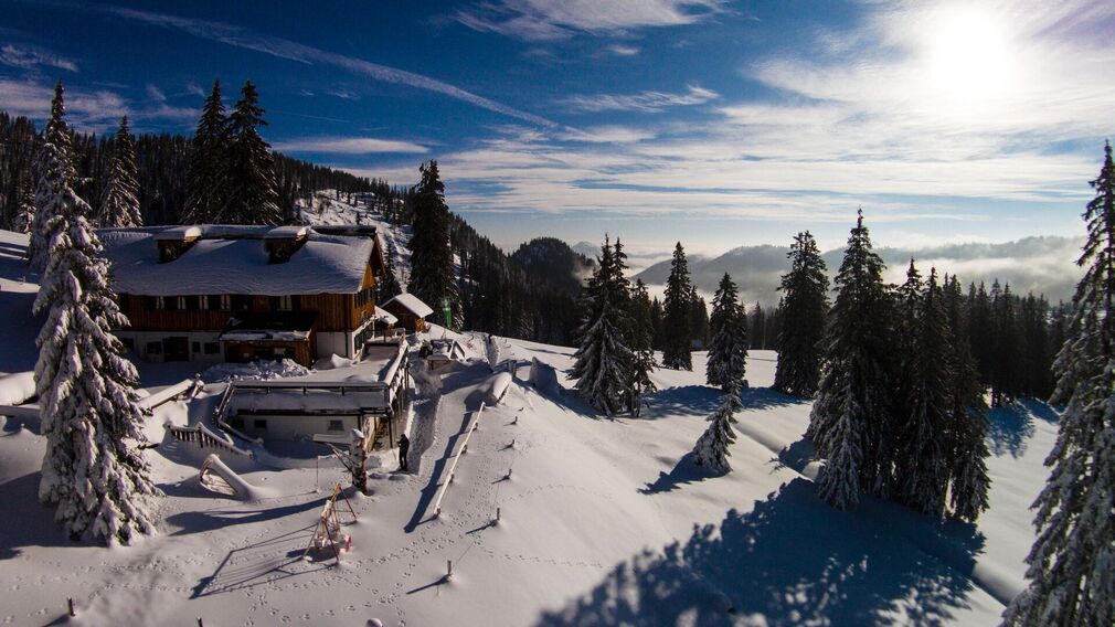
snow-covered mountain hut Gufferthütte © Thomas Meyer
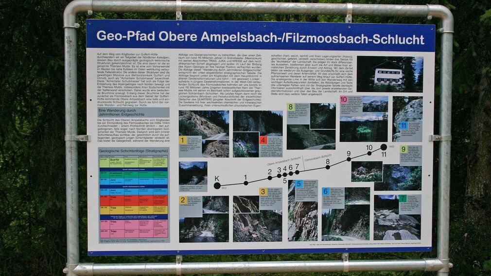
entry board at Köglboden © Achensee Tourismus
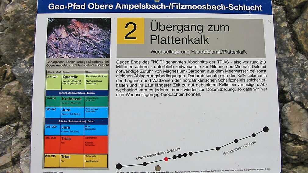
description board on the Geopfad Obere Ampelsbach-Filzmoosbach Gorge © Achensee Tourismus
The geological trail begins at the car park Köglboden in Achenkirch and ends at the Gufferthütte mountain hut (not serviced in winter). This themed trail leads through the Obere Ampelsbach/Filzmoosbach gorge with 11 interpretive panels telling the long and exciting history of the Alps. See rock layers that were deposited on the North African continental shelf over a period of about 110 million years in the Mesozoic area with its periods Triassic, Jurassic and Cretaceous. The rock formations on this “excursion through millions of years of geological history” correspond to a stratigraphic table. The return is via the same route.
Notice: Walking time varies depending on snow conditions.
more
less
Infrastructure on site

Difficulty
Medium
Route Length
15.2 km
Route Time Total
05:30 h
Elevation Gain
490 hm